Mapping Florida’s Coastal Waters: Saildrone Awarded Major Contract
St. Petersburg, FL – Saildrone has secured a significant contract to map the seafloor of Florida’s coastal waters in the Gulf of Mexico. This initiative forms part of a larger, multiyear project called the Florida Seafloor Mapping Initiative (FSMI), which aims to provide essential seafloor data to a broad range of stakeholders across the state.
What Is the Initiative?
FSMI’s primary goal is to deliver high-quality and high-resolution data on Florida’s coastal waters, particularly within a region known as the Middle Grounds. This area is located approximately 130 kilometers northwest of St. Petersburg. The mission has a budget of $1.66 million and is commissioned by the Florida Department of Environmental Protection (FDEP).
Who Is Involved?
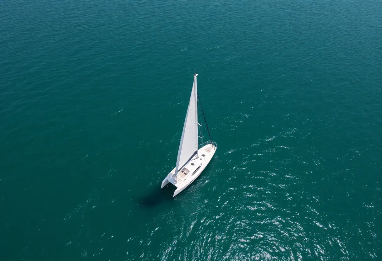
Saildrone, a leader in marine autonomous technology, will utilize two 10-meter Saildrone Voyager uncrewed surface vehicles (USVs) equipped with state-of-the-art Norbit Winghead i80s echosounders. These advanced tools will allow for the collection of high-resolution mapping data, while additional equipment such as radar, AIS, and cameras will monitor maritime activities in the region.
Where and When Will This Happen?
The mapping effort will focus on just under 3,000 kilometers of the seafloor around Florida’s Gulf Coast. This significant undertaking is expected to enhance the understanding of the ecological and geological features of the region. The project is set to progress over the next few years, aligning with the broader ambitions of the FSMI to complete comprehensive mapping by 2028.
Why Is This Important?
The importance of mapping Florida’s coastline cannot be overstated. According to Brian Connon, the vice president of ocean mapping at Saildrone, understanding the intricate details of coastal environments is crucial for several reasons. It supports sustainable resource management, enhances resilience against extreme weather events, and informs policymakers and researchers. High-resolution mapping is vital for protecting Florida’s diverse ecosystems and infrastructure, particularly in light of rising sea levels and increasing hurricane activity.
Currently, Florida has a coastline that stretches over 2,170 kilometers, making it the second-longest in the United States, just behind Alaska. Despite its extensive coast, large portions remain unsurveyed, and many existing nautical charts depend on outdated and low-resolution data. By expanding upon the Florida Coastal Mapping Program (FCMaP), this initiative aims to develop a valuable dataset that will update navigational charts, identify maritime hazards, and facilitate scientific research and emergency management.
Benefits of the Mapped Data
The data collected through this initiative will significantly contribute to understanding various critical aspects, including coastal vulnerability, risks associated with hurricanes, restoration efforts, and effective flood risk mapping. This comprehensive seafloor mapping is poised to be a foundational resource for many sectors, including environmental protection, tourism, and local economies.
As the project progresses, stakeholders from numerous sectors will benefit from the rich insights gained from this mapping effort. Whether for policymakers in Tallahassee or community leaders in coastal towns, the implications will be widespread, enhancing safety and sustainability along Florida’s coastline.
In a state known for its dynamic coastal environments, initiatives like FSMI reveal a commitment to improving understanding and management of these vital ecosystems. With Saildrone at the forefront of this project, the future of Florida’s seafloor mapping looks promising and pivotal for ecological preservation and resource management.