
News Summary
Flood watches are in effect for Southeast Georgia and parts of Florida as a storm system approaches, bringing potential heavy rainfall and flash flooding. Residents are advised to avoid flooded areas. The possible development of Tropical Storm Dexter adds to the concern, with forecasts indicating significant rainfall accumulation. Authorities urge vigilance as conditions may change rapidly, emphasizing the importance of preparation and caution while navigating impacted regions.
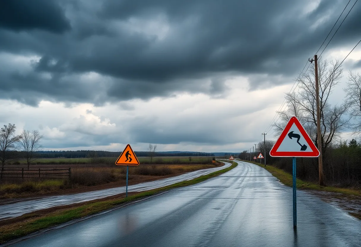
Valdosta, Georgia – Flood watches are currently in effect for Southeast Georgia until 11 PM on Saturday night as a storm system approaches the area. The weather event has the potential to bring significant rainfall, particularly to neighborhoods along the Florida-Georgia line, where some locations could receive up to 3 inches of rain. Residents are urged to find alternate routes if they come across any flooded areas, especially in low-lying regions and spots with clogged storm drains that are more susceptible to water accumulation during heavy showers and storms.
Millions of residents across Florida are also under a flood watch due to the same storm system, which may develop into Tropical Storm Dexter in the coming days. Forecasts indicate widespread rainfall totals between 2 and 4 inches across affected areas, with isolated locations possibly seeing up to 7 inches by Tuesday evening. The National Hurricane Center has cautioned that heavy rainfall may lead to flash flooding through Wednesday, prompting authorities to issue warnings about potential rising waters in streams and dangerous driving conditions in both urban and rural settings.
Flood watches have been declared over significant areas of Florida, encompassing several counties, including Sumter, Pinellas, Polk, Hardee, Citrus, Hernando, and more. Major cities in these zones, such as Tampa, Orlando, St. Petersburg, Clearwater, and Daytona Beach, are all poised to experience adverse weather conditions. The storm system currently has a 40% chance of evolving into Tropical Storm Dexter within the next 48 hours, but an expert from AccuWeather has expressed skepticism about its development while over land. Despite this, the potential for torrential rainfall remains high, and residents should be prepared for sudden and severe rain events.
Authorities have emphasized the need for residents to remain vigilant as conditions can change rapidly. Motorists are advised against driving through flooded areas, highlighting the principle of “turn around, don’t drown.” Many of the existing flood watches will expire by Tuesday evening, although the situation is being closely monitored, and further alerts could be necessary if conditions worsen due to tropical development.
The ongoing hurricane season has led to heightened awareness and preparedness among residents and authorities alike, as heavy rains and flooding can occur without warning. Emergency services and local governments recommend that individuals stay informed through reliable sources and have contingency plans in place for potential travel disruptions.
As this storm system moves closer, it is important for all residents in the affected regions to take these warnings seriously, maintain awareness of their surroundings, and heed any directives issued by local authorities. With the possibility of flash flooding, the community’s safety relies on everyone recognizing the risks associated with severe weather and responding accordingly.
Deeper Dive: News & Info About This Topic
HERE Resources
Leon County Investigates Multiple Deaths and Homicides
Florida’s Unemployment Rate Remains Steady at 3.7%
Hurricane Erin Threatens Florida and East Coast
Texas Lawmaker Stands Against Escort Mandate
Hurricane Erin Misses East Coast but Brings Dangerous Conditions
Leon County Faces Rising Unemployment Amid Funding Cuts
Hurricane Erin Triggers Tropical Storm Watch in Outer Banks
Hurricane Erin Gathers Force: Impact Expected Along East Coast
Tropical Storm Erin Brings Severe Weather Threats to Tallahassee
Hurricane Erin Strengthens to Category 4
Additional Resources
- WTXL: Flood Watch in Effect
- Wikipedia: Flood
- Tallahassee.com: Flash Flood Watch
- Google Search: North Florida Flood Watch
- Newsweek: Millions Warned of Florida Floods
- Google Scholar: Florida Floods Tropical Storm
- Herald Tribune: Florida Weather Forecast
- Encyclopedia Britannica: Flooding in Florida
- WALB: First Alert Weather Day
- Google News: First Alert Weather Day Flood Watch

Author: STAFF HERE TALLAHASSEE WRITER
The TALLAHASSEE STAFF WRITER represents the experienced team at HERETallahassee.com, your go-to source for actionable local news and information in Tallahassee, Leon County, and beyond. Specializing in "news you can use," we cover essential topics like product reviews for personal and business needs, local business directories, politics, real estate trends, neighborhood insights, and state news affecting the area—with deep expertise drawn from years of dedicated reporting and strong community input, including local press releases and business updates. We deliver top reporting on high-value events such as Springtime Tallahassee, Tallahassee Jazz & Blues Festival, and LeMoyne Chain of Parks Art Festival. Our coverage extends to key organizations like the Greater Tallahassee Chamber of Commerce and United Way of the Big Bend, plus leading businesses in education, healthcare, and insurance that power the local economy such as Florida State University, Tallahassee Memorial HealthCare, and Capital Health Plan. As part of the broader HERE network, including HEREJacksonville.com, HEREOrlando.com, HEREStPetersburg.com, and HERETampa.com, we provide comprehensive, credible insights into Florida's dynamic landscape.